

GeoGuesserGPT-AI-powered location identification
Discover exact locations instantly with AI
Upload a picture and I'll analyze it better than any GeoGuesser Expert, crafting a clever guess to reveal where it was taken. Try GeoGuesserGPT and I'll pinpoint the spot with surprising insight!
Guess where this picture was taken.
What's the likely location of this photo?
Can you identify the place in this image?
Tell me where this picture might have been taken.
Get Embed Code
Related Tools

GPTea
Kind insights into events, storylines, gossip, and more.

basic-guo-gpt

HackerGPT
Your guide in the world of hacking and cybersecurity.

Trivia GPT
Engaging trivia with twists and weekly themed challenges. Let's play and learn!
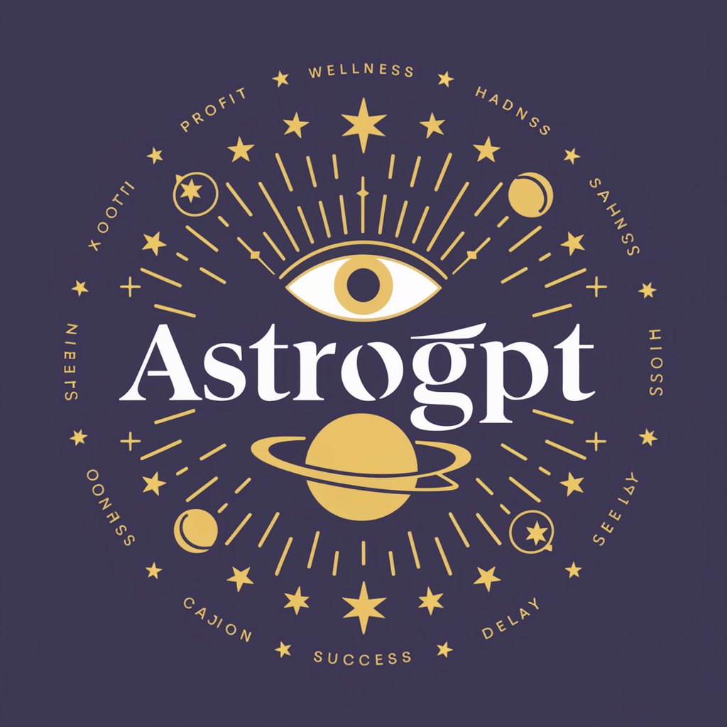
Astro GPT
Astrologer with concise predictions and unique ratings.

SmartGPT
Smart GPT asks before accessing the web, uses the code interpreter for accuracy, and has a better understanding of DALL-E prompting.
Overview of GeoGuesserGPT
GeoGuesserGPT is an AI-powered model designed for highly precise geographic analysis andGeoGuesserGPT Detailed Overview location identification. Its primary function is to examine visual information from photographs, maps, or satellite imagery and deduce the most likely real-world location based on environmental, infrastructural, and cultural cues. It integrates expertise in geography, architecture, flora and fauna recognition, and infrastructure analysis to provide accurate geolocation guesses. For example, if presented with a street photograph, GeoGuesserGPT can analyze road markings, utility poles, building styles, and vegetation types to determine the country, city, and even approximate coordinates. Another scenario could involve analyzing a landscape photo to distinguish between regions with similar climates but different topographies and vegetation patterns.
Core Functionalities of GeoGuesserGPT
Geolocation from Visual Cues
Example
Given a photograph of a European city street, the model identifies road signs, building architecture, and vegetation to pinpoint the location to a specific city.
Scenario
A travel blogger wants to identify unknown locations in historical images for a blog series; GeoGuesserGPT can analyze these images and provide accurate geolocation coordinates.
Environmental and Infrastructural Analysis
Example
The model examines telephone poles, traffic signage, pavement types, and vegetation to distinguish between ruralGeoGuesserGPT Overview and urban areas within a country.
Scenario
Urban planners can use GeoGuesserGPT to analyze satellite images to determine the layout and infrastructure types in different regions, supporting regional development projects.
Precision Coordinate Estimation
Example
After analyzing all visual indicators, GeoGuesserGPT outputs precise latitude and longitude coordinates for the observed location.
Scenario
Researchers studying climate impact on urban areas can provide city images, and GeoGuesserGPT will provide exact coordinates for cross-referencing with climate data.
Target Users and Their Benefits
Researchers and Academics
Geography, urban planning, and environmental science researchers benefit from GeoGuesserGPT by using it to identify locations from images for studies in urbanization patterns, biodiversity, or historical landscape changes.
Travel and Media Professionals
Journalists, travel bloggers, and content creators can use GeoGuesserGPT to verify or identify locations from photographs or videos, improving the accuracy of their content and enriching storytelling.
Government and Security Agencies
Government departments and security analysts can leverage the tool to analyze satellite imagery or surveillance images to quickly locate areas of interest, assisting in disaster response, urban development, or security operations.
How to Use GeoGuesserGPT
Access the PlatformJSON Error Correction
Visit aichatonline.org for a free trial without login, also noGeoGuesserGPT Usage Guide need for ChatGPT Plus. This allows immediate access to GeoGuesserGPT without account restrictions.
Prepare Your Image
Select high-resolution images or screenshots of landscapes, streets, or urban areas. Ensure they contain identifiable features like roads, buildings, vegetation, or signage for accurate location analysis.
Upload and Submit
Upload your image directly into the GeoGuesserGPT interface. Add any optional context such as country hints or terrain types to improve precision.
Review Results
GeoGuesserGPT analyzes visual cues to identify the most probable location. It provides the country, city, and precise coordinates in a confident, single answer format.
Optimize Accuracy
For the best results, use images with clear, unobstructed views, multiple environmental indicators, and avoid overly generic or edited pictures. Multiple angles or additional images can refine accuracy.
Try other advanced and practical GPTs
Stock Image Expert
AI-Driven Stock Images for Every Project

Grammer Checker & Guide
AI-powered grammar correction with clear explanations

Abogado Argentina
AI-Powered Guidance for Argentine Law

PowerPoint Template Wizardry
AI-powered templates for seamless presentations.

LLM Expert
AI-Powered Precision for Every Task

Gerador de logotipos
AI-powered logo design at your fingertips.

Pro Wrestling RPG
Create Legendary Wrestling Stories Instantly with AI

VideoMakerAI
Transform Ideas into AI-Generated Films

Lyric Composer
AI-powered lyrics creation tool.

Immigration Advisor USA - EB2 NIW, EB1A and O1
AI-driven support for your immigration journey

SOW Builder
AI-powered SOW creation for professional projects

TLDR Article Summarizer
AI-Powered Summaries in Seconds

- Education
- Research
- Travel
- Gaming
- Exploration
Frequently Asked Questions about GeoGuesserGPT
What makes GeoGuesserGPT different from other location detection tools?
Can GeoGuesserGPT identify locations in rural or less documented areas?
Yes, the AI is trained to interpret natural landscapes, infrastructure patterns, and environmental clues, making it capable of identifying remote or sparsely documented areas where conventional mapping tools might fail.
What file formats does GeoGuesserGPT accept for images?
GeoGuesserGPT supports standard image formats including JPEG, PNG, and BMP. Higher resolution images improve analysis accuracy, but very large files may need to be resized for upload.
How precise are the coordinates provided by GeoGuesserGPT?
The tool delivers highly precise latitude and longitude coordinates, often down to a specific street or landmark. It focuses on providing a single confident location rather than a list of possibilities.
What are common use cases for GeoGuesserGPT?
Common applications include academic research, travel planning, historical site identification, environmental studies, and geolocation challenges in games or online communities.